

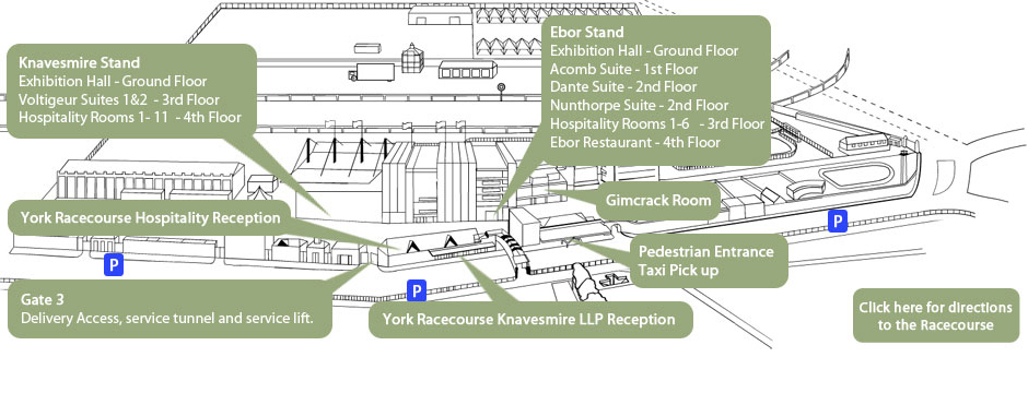
Location
York Racecourse lies within a mile of the city centre and is served by convenient road, rail and air access routes.
Travelling by Road
York Racecourse is located within a mile of the A64 - one of York's main trunk roads. Please see map for the location of York Racecourse or use our get driving directions facility below to download directions to the racecourse from a specific location.
Driving Directions
Just enter your postcode below to get door-to-door directions courtesy of Google Maps (Map opens in a new window):
Travelling by rail
York is one of the UK's major railway stations and connects with many routes. Fast and frequent trains run from King's Cross, taking as little as 1 hour 52 minutes. There are also direct trains from Edinburgh, Manchester and Birmingham.
Once at the station it is a short hop to the racecourse by bus (frequent service running every 10 minutes) or a 5 minute taxi journey which will cost in the region of £7-8. It is approximately 1.5 miles if you wish to go by foot.
Travelling by Air
The nearest International Airport is Leeds Bradford (approx 50 minutes away) followed by Robin Hood / Doncaster (approx 60 minutes) then Teeside and Manchester International Airports (approx 90 mins).
Light aircraft may use Rufforth, only six miles west of the racecourse.
Helicopter access is available at the course by prior arrangement. Tel: (01904) 683933.
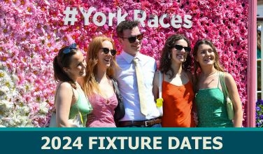
2024 Season at a glance
- Dante Festival 2024 | Wed 15 - Fri 17 May
- May Spring Meeting 2024 | Sat 25 May
- June Meeting 2024 | Fri 14 - Sat 15 June
- John Smith's Cup Meeting 2024 | Fri 12 - Sat 13 July
- Music Showcase Weekend 2024 | Fri 26 - Sat 27 July
- Sky Bet Ebor Festival 2024 | Wed 21 - Sat 24 August
- YorkMix Family Sunday 2024 | Sun 8 September
- October Finale 2024 | Fri 11 - Sat 12 October

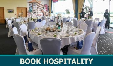
HOW CAN WE HELP? GET IN CONTACT

©2024 York Racecourse. All Rights Reserved.